


Latest Version
White Peacock
Travel & Local
Windows
Free
9p3001mmbpr3
Report a Problem
More About GPS Navigation & Transit Maps
The Ultimate Desktop Navigator for Your Next Journey
Imagine planning a complex cross-country road trip or mapping out your daily transit commute from the comfort of your desktop. While mobile mapping is convenient on the go, having a robust, large-screen tool like the GPS Navigation & Transit Maps app allows you to visualize routes, study transit schedules, and explore new cities with unparalleled clarity before you even step out the door.
Developed by White Peacock for the Windows platform, this versatile travel and local utility acts as your personal geographic command center. It bridges the gap between detailed desktop planning and real-world execution, making it an excellent companion for commuters, remote workers, and travel enthusiasts alike.
Key Features of GPS Navigation & Transit Maps
The GPS Navigation & Transit Maps app offers a robust suite of tools designed to streamline your travel planning. Here is a breakdown of its standout capabilities:
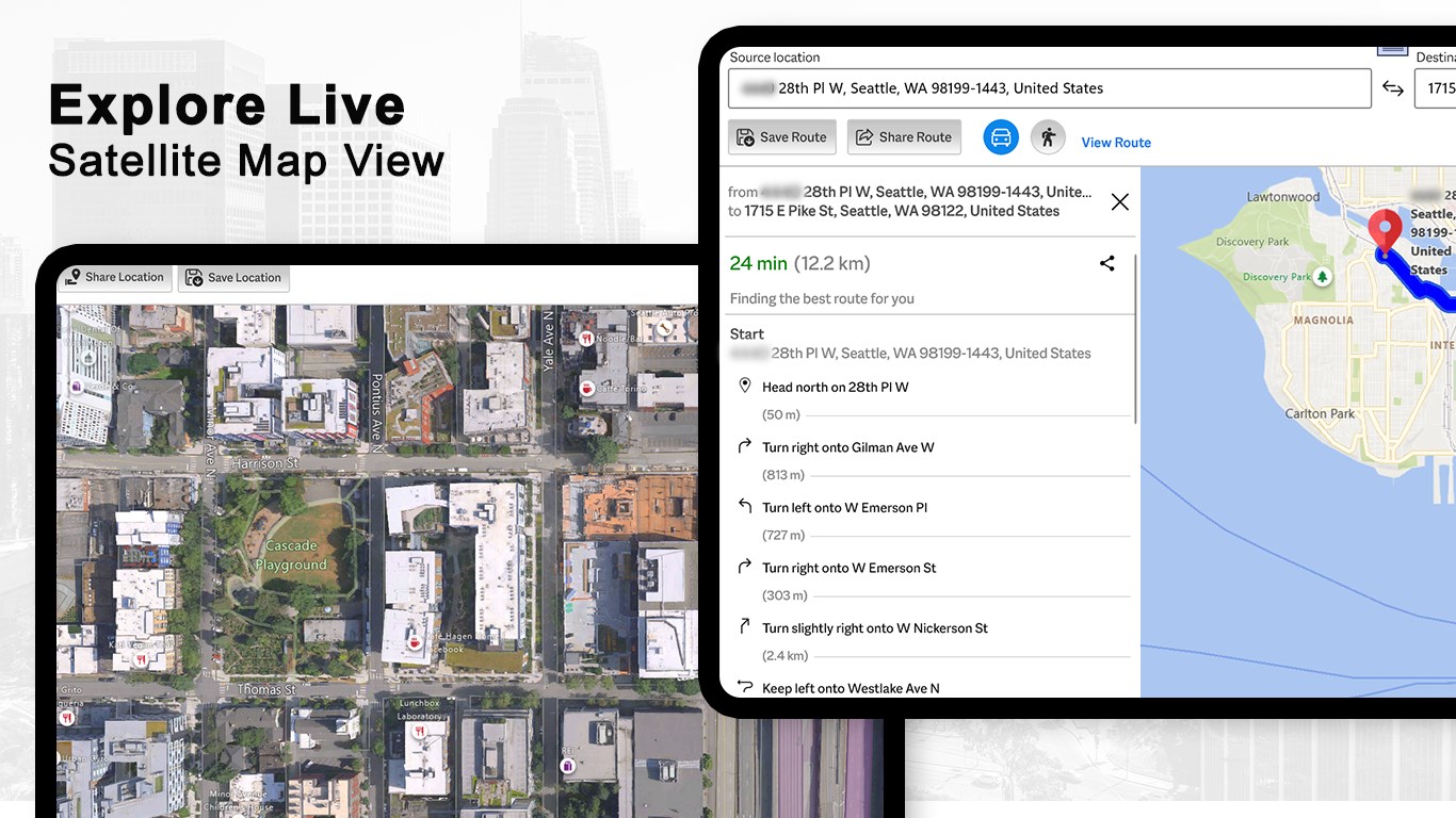
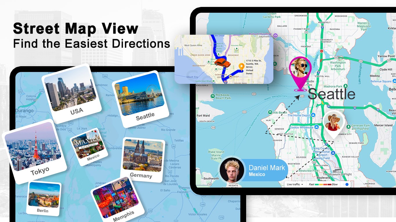
- Interactive Multi-Mode Mapping: Switch seamlessly between standard street-level views, high-resolution satellite imagery, and detailed terrain modes. Responsive zoom and drag controls make digital exploration fluid and intuitive.
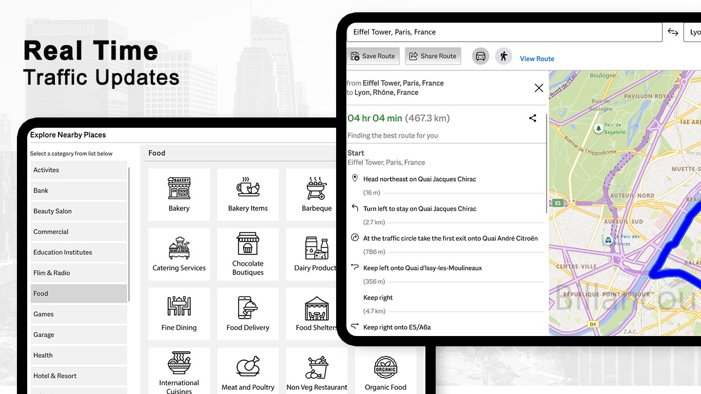
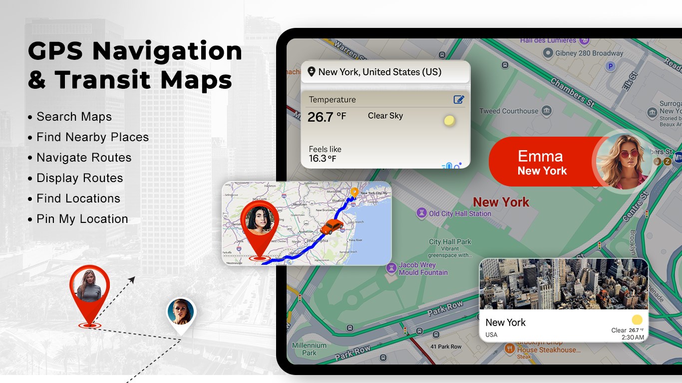
- Comprehensive Transit & Route Planning: Generate turn-by-turn directions tailored for driving, walking, cycling, or public transportation. The application integrates public transit schedules to help you coordinate timely departures.
- Local Discovery & Business Directory: Look up addresses, landmarks, and local businesses. Access integrated ratings, operating hours, contact details, and reviews to choose the best dining or shopping spots near your destination.
- Pin My Location: Instantly identify and mark your exact coordinates on the map, allowing you to easily share your precise location with family, friends, or colleagues.
Who Is This Navigation Tool For?
This software is tailored for Windows users who prefer the precision of desktop planning. It is ideal for professionals mapping out service routes, students organizing their daily transit schedules, or vacationers curating detailed travel itineraries. By utilizing data from trusted open-source mapping services like OpenStreetMap and Nominatim geocoding, the app delivers reliable geographic visualization.
Please note that while the application is free to try, certain premium features require in-app purchases (IAPs) to unlock. These subscriptions must remain active to retain access to advanced tools as the developer rolls out regular updates.
Plan Your Next Route Today
If you are looking for a dedicated desktop mapping solution that combines transit schedules, interactive street views, and robust location discovery, this utility is well worth exploring. To experience these features firsthand and integrate them into your planning routine, head over to the official Microsoft Store to view the app today.
Rate the App
User Reviews















Popular Apps










Editor's Choice